lighthouse Langerodde

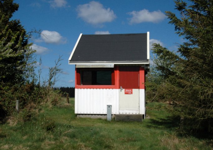
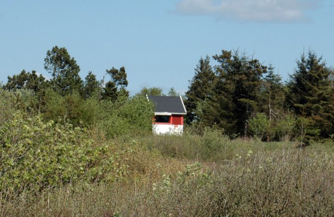
Lighthouse Langerodde in May 2006. It marks the southwestern entry into the Salling Sund as a part of the Limfjord and stands in a natural and wandering area in the south of the village Vile. At the parkering place near the church of Vile you find a good map of the area.

lighthouse Langerodde
(cross light, works since 1911, height of building 3 m, height of fire 9 m, characteristic [Iso WRG 4s] two seconds light - two seconds dark, int. No.: B 1976)
coordinates (GPS) : 56°42'46.8''N - 08°50'02.1''E
index
map Jütland
map Denmark