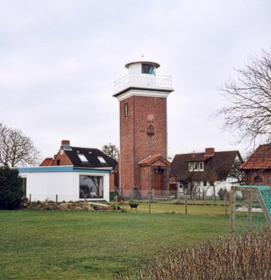
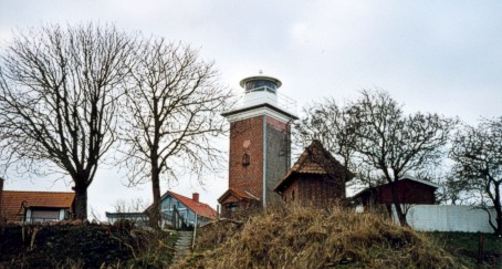
Lighthouse Heiligenhafen in February 2001. The lighthouse is visible by approaching
to the island of Fehmarn on the left side of the euro-road. From here is a nice
look at off-shore Graswarder and the island of Fehmarn. The dates of the years on the square
tower mark years, when its predecessors were built.
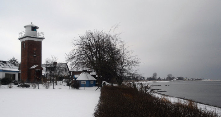
The picture below shows lighthouse Heiligenhafen in December 2009.
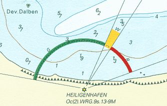
(direction light, works since 1938,
height of tower 13 m, height of fire 16 m,
range of light white 13 sm -
red 10 sm - green 9 sm,
characteristic [Oc (2) WRG 9s] two occultations
every nine seconds, int. No.: C 1328)
[ (1s) - 2s - (1s) - 5s ]
coordinates (GPS) : 54°22'03.1''N - 11°01'17.6''E