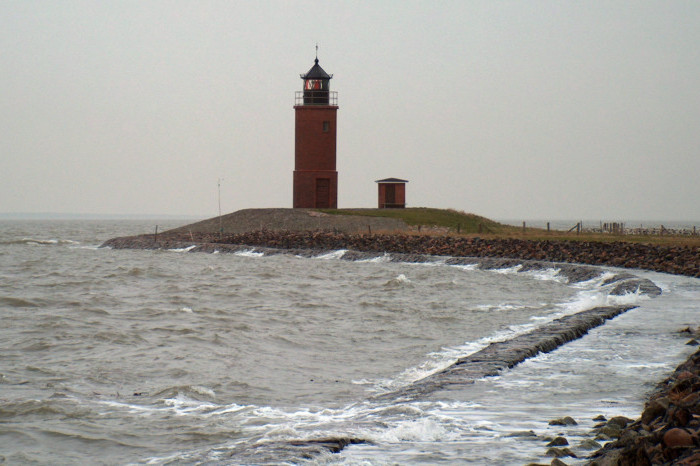
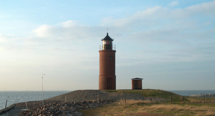
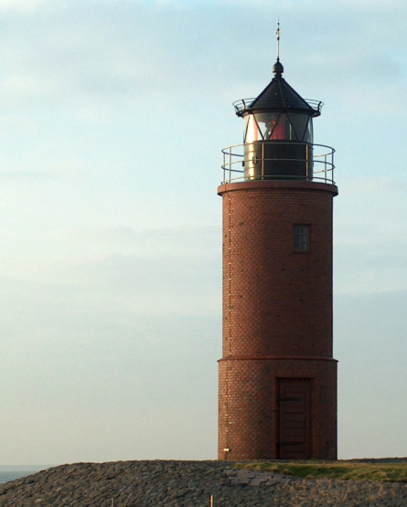
Lighthouse Nordmarsch at Hallig Langeneß in November 2004. The lighthouse is a listed building and
stands at the most westerly top of the Hallig, which is 10 kilometres long, about one kilometre away from the ferry port.
The upper picture was taken during high tide, the pictures below only some hours later.
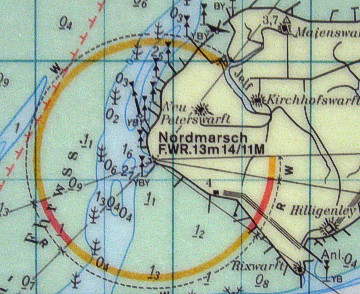
The round brick-tower is cross light for the fairway "Süderaue".
During ferry crossing we were the only passengers, but surprise: the restaurant "Hilligenley"
was open also in winter time and we 've got a fine lunch - thanks!
(orientation- and cross light,
works since 1902 - electrified since 1960,
height of tower 11 m, height of fire 13 m,
range of light white 14 sm -
red 11 sm, characteristic [LFl(3) WR 20s] three longer
flashes every twenty seconds, int. No.: B 1700)
[ 2s - (3s) - 2s - (3s) - 2s - (8s) ]
coordinates (GPS): 54°37'33.0''N - 08°31'47.3''E